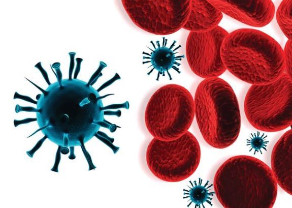
Computer Vision | Agriculture AI | Deep Learning
Corn Maize Leaf Disease Classification using CNN
Image Classification with 90.08% Validation Accuracy
CNN-based corn maize leaf disease classification system trained on Kaggle maize leaf images. The model classifies leaf images into Blight, Common Rust, Gray Leaf Spot, and Healthy classes, helping identify plant diseases from leaf images using deep learning.
PythonTensorFlowKerasCNNComputer Vision
View Project ↗
Computer Vision | Agriculture AI | Transfer Learning
Plant Disease Classification using Deep Learning
~92% Validation Accuracy with CNN and MobileNetV2
Built and evaluated CNN + MobileNetV2 transfer learning models classifying 15 plant disease classes from leaf imagery. Compared MobileNetV2, VGG16, DenseNet121, and InceptionV3 architectures for real-world agricultural decision support.
TensorFlowMobileNetV2CNNImageDataGenerator
View Project ↗
Computer Vision | Agriculture AI | Deep Learning
Rice Leaf Disease Detection using CNN
Image Classification with Treatment Recommendation
CNN-based rice leaf disease detection system trained on Kaggle rice leaf images. The model classifies leaf diseases from uploaded images and provides fertilizer or treatment recommendations based on the predicted disease.
TensorFlowKerasCNNKaggleHub
View Project ↗
Hydrogeology | Machine Learning | Groundwater Modeling
Machine Learning-Based Groundwater Flow and Phenolic Contaminant Transport Modeling
Surrogate Modeling MLP with Visual MODFLOW
Machine learning surrogate framework for groundwater hydraulic head prediction and phenolic contaminant transport simulation using MLP neural networks. Includes remediation scenario analysis for pump-and-treat groundwater contamination management.
PythonScikit-learnMLP Neural NetworkMODFLOWContaminant Transport
View Project ↗
GeoAI | Remote Sensing | Water
GeoAI-Based Water Body Detection from Satellite Imagery
Multi-format Geospatial Pipeline
Automated surface water detection pipeline using deep learning segmentation models trained on multi-spectral satellite imagery across GeoTIFF, NetCDF, and Shapefile formats.
PyTorchOpenCVRasterioOpenGeoAI
View Project ↗
Smart City Analytics | IoT Dashboarding
Smart City Real-Time Water Conservation Dashboard
Tableau Dashboard | Leak & Demand Monitoring
Built a real-time water conservation dashboard integrating IoT sensor data from flow meters, pressure sensors, and smart meters to monitor water loss, detect leaks, forecast demand, and support data-driven infrastructure upgrades.
TableauGIS Leak AlertsWater Efficiency
View Project ↗
Machine Learning | Environmental AI | Climate Analytics
Environmental Stress Prediction using Machine Learning
Random Forest-Based Environmental Stress Classification
Machine learning-based environmental stress prediction system using NDVI, soil moisture, temperature anomaly, rainfall, humidity, wind speed, and biome data to classify environmental conditions into Vegetation Healthy, Moderate Stress, and High Water Stress categories for climate resilience and ecosystem monitoring.
PythonScikit-learnRandom ForestPandasEnvironmental AI
View Project ↗
Hydrogeology | Machine Learning | Coastal Groundwater Modeling
AI-Based Coastal Aquifer Surrogate Modeling for Seawater Intrusion Prediction
Rapid Groundwater Salinity Prediction using Deep Learning Surrogate Models
Machine learning-based surrogate modeling framework for rapid prediction of seawater intrusion in coastal aquifers using hydrogeological parameters, enabling fast salinity risk assessment and coastal groundwater management.
PythonTensorFlowDeep LearningHydrogeologyCNN
View Project ↗
Hydrogeology | GIS | Machine Learning
AI-Assisted Saltwater Intrusion Vulnerability Mapping using Random Forest for Wadi Ham Coastal Aquifer
Groundwater Salinity Classification with 86.2% Accuracy
Developed an AI-assisted groundwater vulnerability assessment framework for the Wadi Ham coastal aquifer, UAE, integrating GIS, GALDIT, Random Forest ML, and SHAP explainability to generate seawater intrusion probability and salinity classification map.
PythonGISRandom ForestSHAPHydrogeology
View Project ↗
Research AI | Bibliometrics | Water Technology
R-based Bibliometric Analysis and Mapping for Desalination Research Trend Analysis
Bibliometric Knowledge Mapping Pipeline
Developed an R-based bibliometric analytics pipeline to examine desalination research trends, influential authors, citation networks, keyword evolution, and global collaboration patterns.
RBibliometrixCitation NetworksKnowledge Mapping
View Project ↗


.jpeg)